
Some map murals at the neighborhood school.
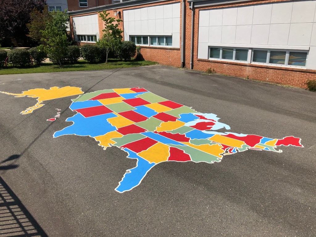
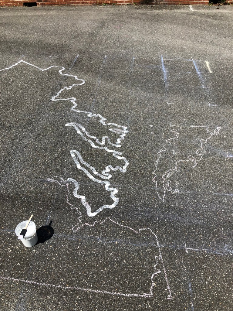
The USA map was sketched out using a stencil. For the large map of the state of Virginia I used a grid enlargement. I hadn’t done one in years, not to mention something this large. Drew the grid with chalk, sketched an outline square by square, then painted over the lines with a 1 inch brush.
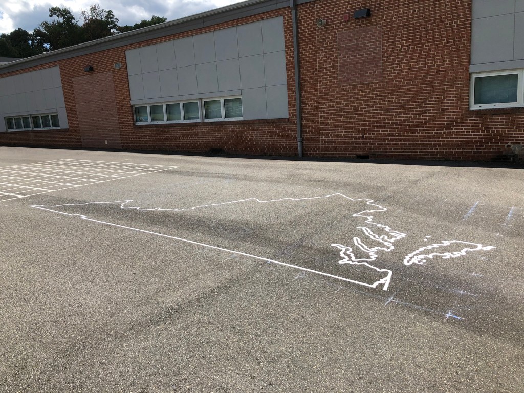
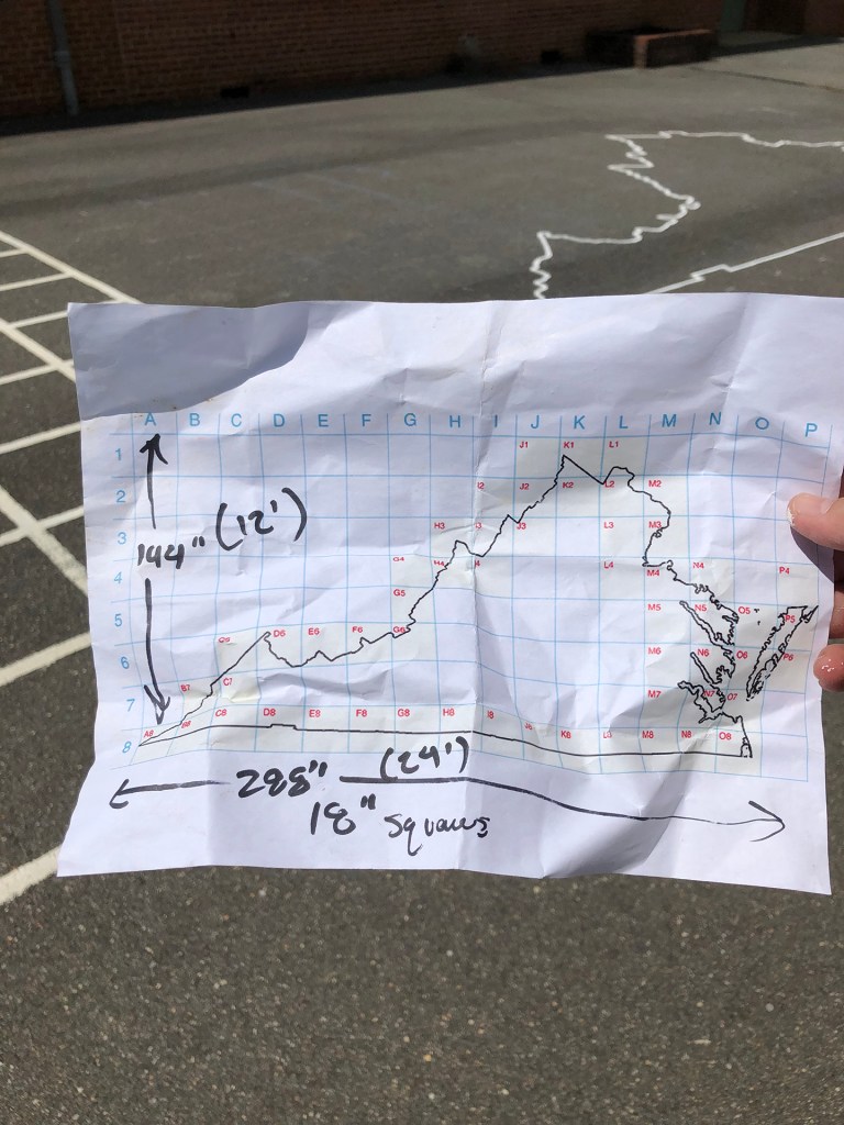
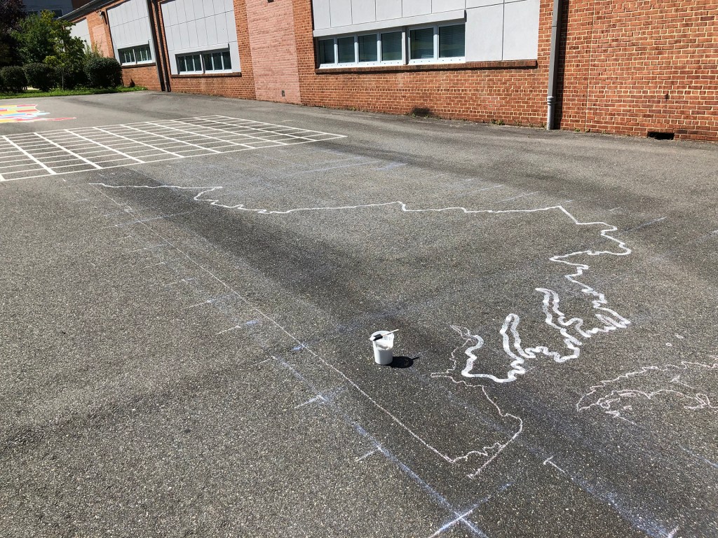
The USA map is approximately 16×30 feet (5m x 9m), and the Virginia map is 12×24 feet (4m x 7m).
